


The Basics
Hickory Nut Mountain Vista & Picnic Area
US Highway 270
Mt. Ida, AR
Phone: (870) 356-4186 (Caddo District Office)
Closest Towns: Hot Springs, Mt. Ida, Norman, Royal
Directions: The turn off for Hickory Nut Mountain is located about 13 miles East of Mt. Ida or your left, or 23 miles West of Hot Springs on your right, approx. 1.3 miles West of the Garland/Montgomery county line. Follow Hickory Nut Mountain Road as it climbs the mountain, taking the Left fork at 1.0 mile. At 3.5 miles is a sign on your left for the picnic area. The road ends at 4.2 miles at the vista overlook.
About Hickory Nut Mountain
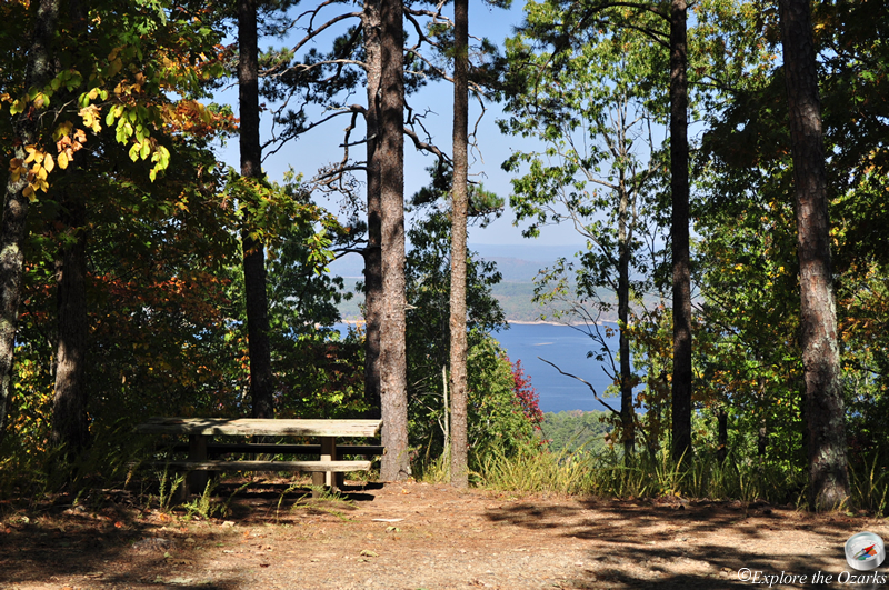
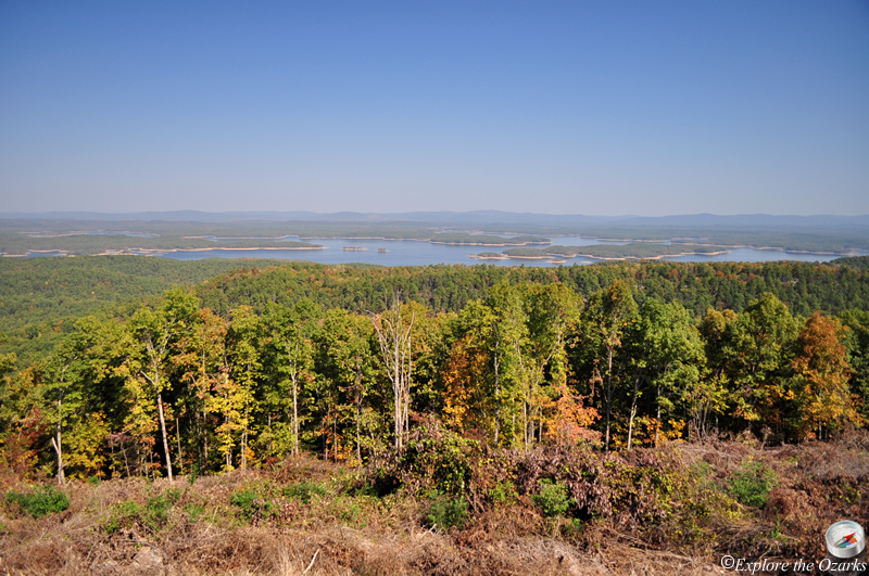
Located near the top of Hickory Nut Mountain, this picnic area also doubles as one of the trailhead for the Lake Ouachita Vista (LOViT) Trail. The area offers numerous picnic tables scattered throughout the trees, with some offering glimpses of the panoramic view over Lake Ouachita to the north. There is ample parking room and a vault toilet. This is a day use only area; camping is not permitted in the picnic area.
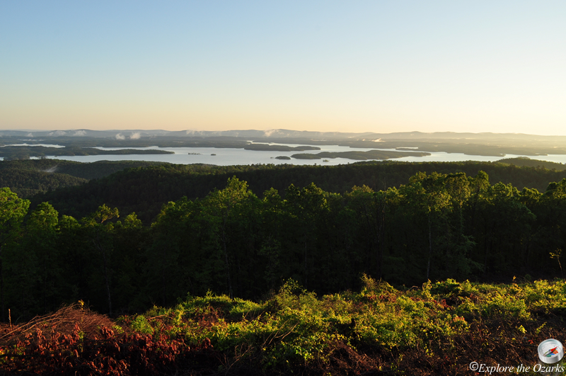
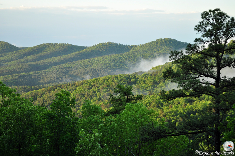
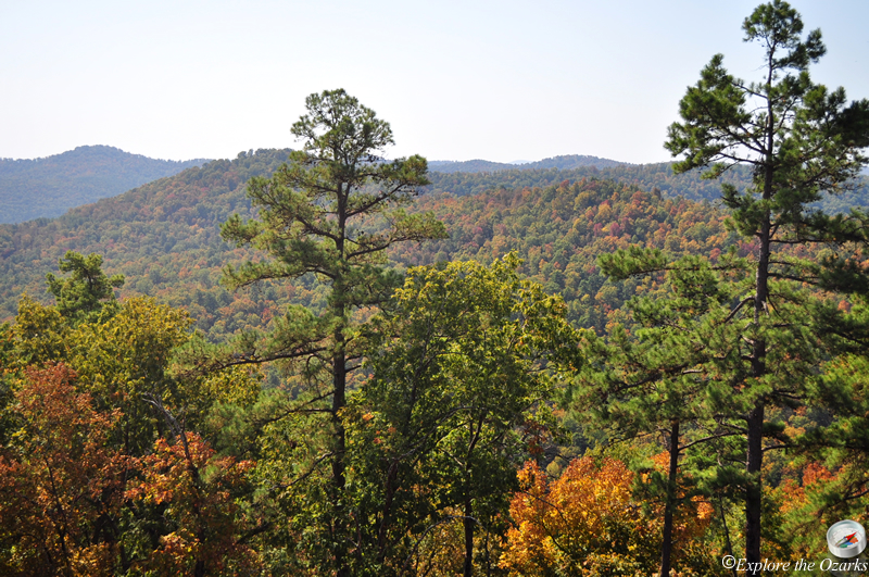
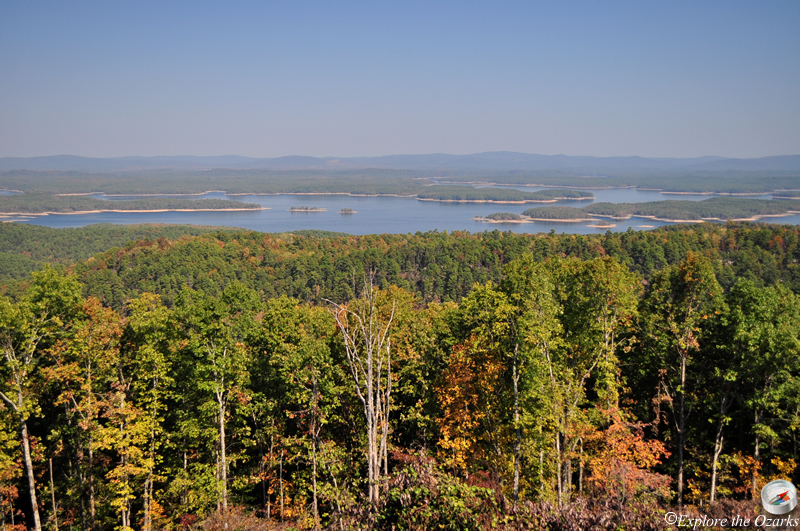
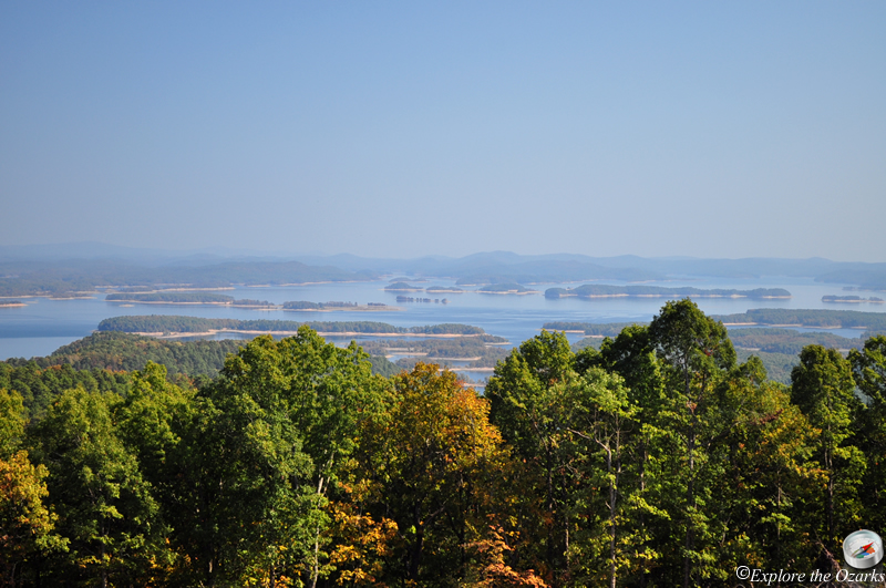
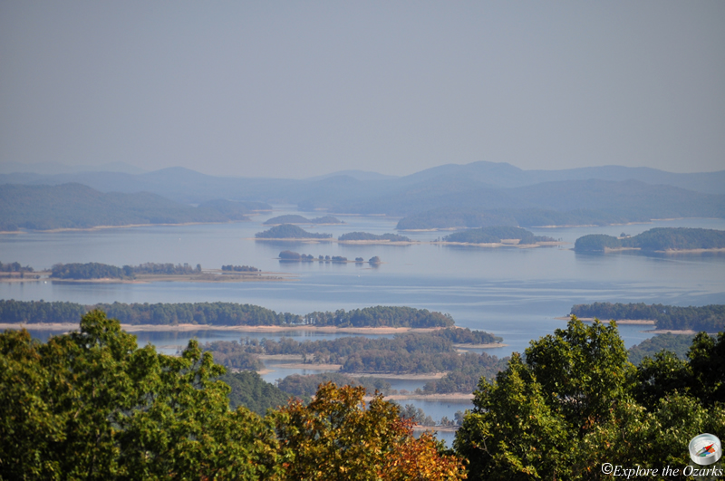
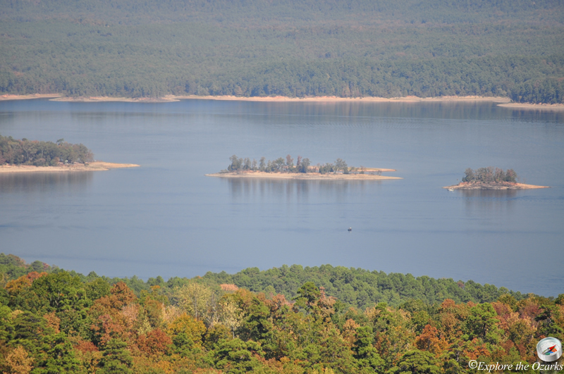
Just a little further up the road from the picnic area is an overlook at the top of Hickory Nut Mountain, and offers stunning views for many miles around of Lake Ouachita and the surrounding Ouachita Mountains. The lake's numerous islands can be seen clearly from up here, and the view is especially beautiful during autumn!
What's Nearby
Parks & Nature
Trails
Camping
Lodging
Local Eateries
Gear & Supplies
Other Attractions
Towns & Cities