


The Basics
- Height: 12'
- GPS: N34 25.519, W92 54.682
- USGS Quad: Lake Catherine
- Distance: 0.7 miles One-Way
- Difficulty: Easy Hike
- Location: Lake Catherine State Park
- Region: Arkansas River Valley & Ouachita Mtns
Details & Directions
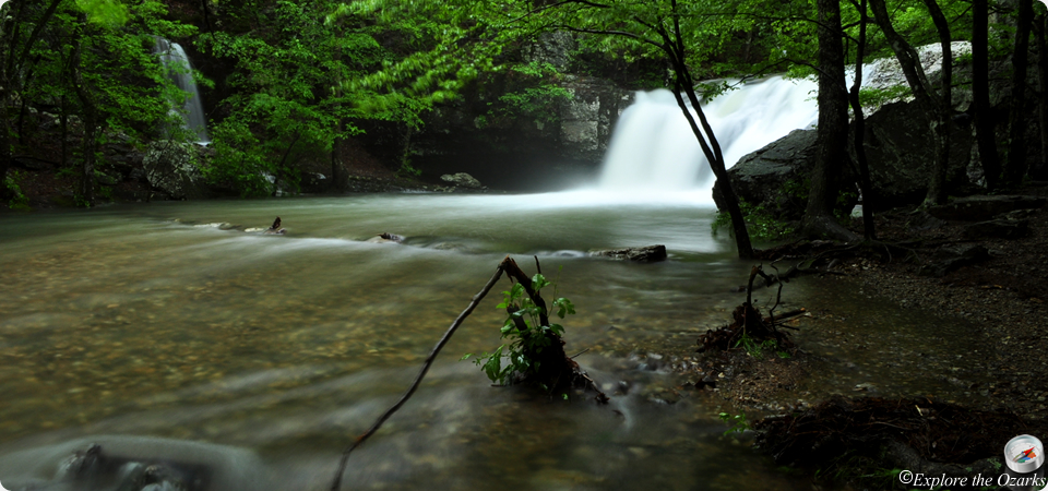
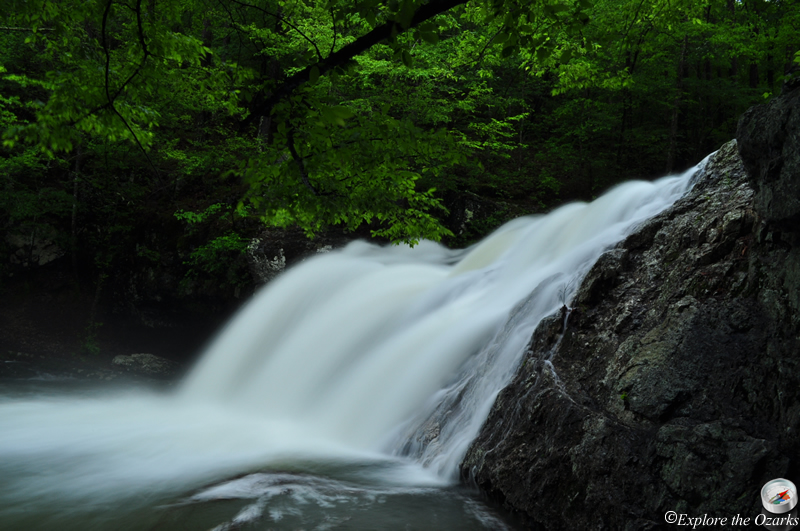
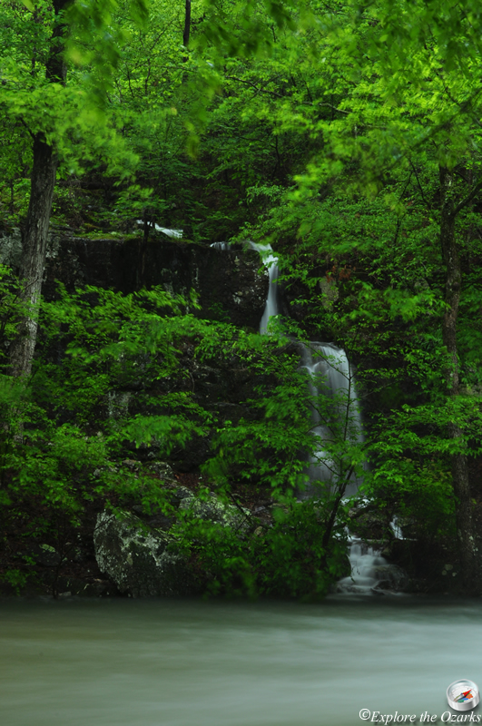
Highly photographed, you may recognize this waterfall from advertisements about Lake Catherine, and even Arkansas State Parks in general. It is just a short, easy stroll along the lake shore to get to these falls, with many other hiking trails available nearby in the park.
To begin your hike, head to the back of the park, at the back of campground "C" past the amphitheater. You will find a trailhead and parking here. Several trails take off from the trailhead, and many of the trails can be combined to make a longer loop, but we are going to focus on a direct route to the falls and back. Look for the Falls Branch Trail, which is blazed in white. Follow the trail to the Left, crossing a small footbridge, then crossing a suspension bridge. Soon after you will come to a trail intersection, continue Straight along the lake shore as the trail curves a little to the right and then up into a cove. You will come to Falls Creek Falls at 0.7.
From the waterfall, you can continue along the trail above the falls, then turn right at the next intersection, following Falls Branch Trail as it loops back around to the trailhead, or you can return back the way you came.