
Beaver Creek Nature Trail
- The Basics
- Type: Hiking
- Length: 1 mile One-Way
- Difficulty: Easy
- Time: ½ hour - 1 hour
- Requirements: None
- Description
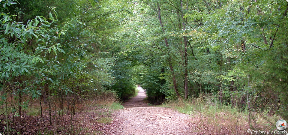
- This is a one-way trail that will take you from the Nature Center to the David L. Boren Trail, where it crosses Beaver Creek. Except for the end where it crosses the creek, this is a relatively flat and easy trail. The trail is marked with red & white tree blazes. A portion of the trail is shared with the Forest Heritage Tree trail.
- Additional Info
- Camping: No
- Water: No water on trail
- Trail Head(s): Nature Center
- Trail Markings: Red & White Blazes
- Pets Allowed:
- Recommended Season:
Cedar Bluff Nature Trail
- The Basics
- Type: Hiking
- Length: 1 mile Loop
- Difficulty: Easy
- Time: ½ hour - 1 hour
- Requirements: None
- Description
- Starting across from the Dogwood Campground, this 1 mile loop trail is an easy hike, with only a slight hill climb. The trail is designed to be traveled in a clockwise direction, and will bring you back to its beginning, passing nearby the Mountain Fork River along its path. The lower portions of this trail, near the river, may be flooded at times, and the trail may be closed. This trail also serves as an access to the Skyline portion of the David Boren Hiking Trail.
- Additional Info
- Camping: No
- Water: No water on trail
- Trail Head(s): near Dogwood Campground
- Trail Markings: Blue & White Blazes
- Pets Allowed:
- Recommended Season:
David L. Boren Hiking Trail
- The Basics
- Type: Hiking, Backpacking
- Length: 12 miles One-Way
- Difficulty: Moderate - Strenuous
- Time: 7 hours - Overnight
- Requirements: Please check-in with park office before backpacking along this trail
- Description
- The David Boren Hiking Trail is essentially a series of shorter trails, whether the whole trail or a portion of a trail, that all connect to create one long trail. The entire length is 12 miles, and primitive camping is allowed along the trail. The trail begins at the Southpark Trailhead, at the south end of the park in the Acorn Campground. The trail ends at the north trailhead parking area for the Beaver Lodge Trail, just below the spillway.
- The trail makes its way along and above the Mountain Fork River, and offers great views of the river and valley, especially during leaf-off season. Some of the lower sections of the trail, near the river, offer good fishing access, especially for trout. The longest and most difficult section of the trail is the Skyline Trail section. This part of the trail is 5 miles long, and can be very steep in places, but is worth the effort for the views and scenery it affords. Backpacking/backcountry camping is allowed along the trail. Campfires are NOT allowed anywhere in the park, but campers may use a camp stove to cook with.
- The David Boren Hiking Trail (DBHT) is comprised of 7 different trails, including one that is just outside the park. They are, in order from the south end to the north end:
- Southpark Trail - 1 mile
- Beaver Creek Nature Trail - 1 mile
- Lookout Mtn Trail - 1.5 miles
- Deer Crossing Trail - 2 miles
- Cedar Bluff Nature Trail - 1 mile
- Skyline Trail - 5 miles
- Beaver Lodge Trail - 1 mile (Army Corps of Engineers Trail)
- The DBHT can be accessed from five different trailheads, allowing for shorter hikes. The first is in the Acorn Campground, in the south end of the park. The second access is from the Forest Heritage Center, via either the Beaver Creek Nature Trail or the Forest Heritage Tree Trail. You can follow the Beaver Creek trail down Beaver Creek to the trail junction, or there is a new trail from the Forest Heritage Center that parallels Hwy 259A to where the DBHT crosses the road. The third access is from the Cedar Bluff Nature Trail, about halfway along its loop. From here, you can either go east along the Deer Crossing Section, or west along the rugged Skyline Section. The fourth and fifth trailheads are located at the north and south parking areas for the Beaver Lodge Trail, although the north parking area (near the spillway) is the bigger of the two and the more widely used trailhead.
- Additional Info
- Camping: Primitive camping allowed; NO campfires
- Water: No water on trail
- Trail Head(s): Acorn Campground; Forest Heritage Center; Cedar Bluff Trail; Beaver Lodge Trailhead(s)
- Trail Markings: Red & White Blazes
- Pets Allowed:
- Recommended Season:
Dogwood Nature Trail
- The Basics
- Type: Hiking
- Length: 1 mile Loop
- Difficulty: Easy
- Time: ½ hour
- Requirements: None
- Description
- Located in the Grapevine Campground, this 1 mile looped trail takes you along the Mountain Fork River, then through a pine-hardwood forest. This is a fairly easy walk, with a few rocky spots, but no steep climbs.
- Additional Info
- Camping: No
- Water: No water on trail
- Trail Head(s): Grapevine Campground
- Trail Markings:
- Pets Allowed:
- Recommended Season:
Forest Heritage Tree Trail
- The Basics
- Type: Hiking
- Length: 1.1 miles Loop
- Difficulty: Easy
- Time: ½ hour - 1 hour
- Requirements: None
- Description
- This 1.1 mile looped trail begins and ends at the Forest Heritage Center. The trail begins by descending to Beaver Creek, following it for a while, then returning uphill back to the start. Along the trail, hikers will find a covered bridge, and information signs placed along the way. This trail also shares a small distance with the Beaver Creek Nature Trail, so follow the wooden signs to remain on this trail.
- Near the beginning of this trail, there is also a short, ½ mile spur trail which leads from the Forest Heritage Center to where the DBHT crosses Hwy 259A.
- Additional Info
- Camping: No
- Water: No water on trail
- Trail Head(s): Forest Heritage Center
- Trail Markings:
- Pets Allowed:
- Recommended Season:
Indian Nations Multi-Use Trail
- The Basics
- Type: Hiking, Mtn Biking
- Length: 5 miles One-Way
- Difficulty: Moderate
- Time: 2 - 5 hours
- Requirements: None
- Description
- The Indian Nations Trail is a multi-use trail, developed for hikers and mountain bikers. The trail is a single track trail, and can be very technical at times. The trail begins just west of the spillway, and heads west/northwest to the Hochatown side of the park. It passes through the Stephens Gap Area of the park, and eventually ends at the Carson Creek Area. This is a one-way, 5 mile long trail; it does not loop back around to the beginning.
- Additional Info
- Camping: No
- Water: No water on trail
- Trail Head(s): Spillway; Carson Creek Area
- Trail Markings:
- Pets Allowed:
- Recommended Season:
Lakeview Lodge Trail
- The Basics
- Type: Hiking, Mountain Biking
- Length: .4 miles - 6 miles Loop
- Difficulty: Easy - Moderate
- Time: ½ hour - 5 hours
- Requirements: None
- Description
- Completed in May of 2005, this multi-use trail was built for hikers and mountain bikers alike. The trail consists of three loops, ranging from .4 miles in length to 6 miles. The trail system begins at the Lakeview Lodge parking lot, and loops back around to the beginning.
- The first loop is the closest to the lodge, and is the easiest of the three. It is only .4 miles in length. The second loop is a little tougher, but not much. It is 1.75 miles in length. Loop 3 is the longest of the three loops, and can be moderate in difficulty in places. This loop is right at about 4 miles in length. The last mile of this loop follows near the lake's shoreline, and is the most scenic part of any of the three loops. Another portion of this trail is also shared with the Indian Nations Trail.
- Additional Info
- Camping: No
- Water: No water on trail
- Trail Head(s): Lakeview Lodge
- Trail Markings:
- Pets Allowed:
- Recommended Season:
Pine Ridge Nature Trail
- The Basics
- Type: Hiking
- Length: ¾ mile Loop
- Difficulty: Easy
- Time: ½ hour
- Requirements: None
- Description
- Located southeast of the Forest Heritage Center, this looped trail will take hikers through pine-hardwood forests along Beaver Creek, then atop the ridges overlooking the creek. There is also a nice area where the trails passes by a stand of American Holly trees. The trail starts across from the tennis courts, between the Buckeye and Acorn campgrounds.
- Additional Info
- Camping: No
- Water: No water on trail
- Trail Head(s): Acroos from tennis courts
- Trail Markings:
- Pets Allowed:
- Recommended Season: