


The Basics
Cane Bluff River Access
County Rd #405 / MO Highway 19
Alton, MO
Phone: (573) 996-2153 (Eleven Point District Office)
Closest Towns: Alton
Directions: Travel North from Alton on MO Hwy 19 approx. 4.9 miles. As Hwy 19 curves to the right, continue Straight/Left onto CR #410 / CR #412. Immediately turn Left/West onto CR #410, and go approx. 1 mile to a 3-way intersection with CR #405. Turn Right/North onto CR #405, and follow this road approx. 2.5 miles to the Access Area. This road also becomes FR #3189 approx. 1 mile before the access area.
GPS:
About Cane Bluff Access
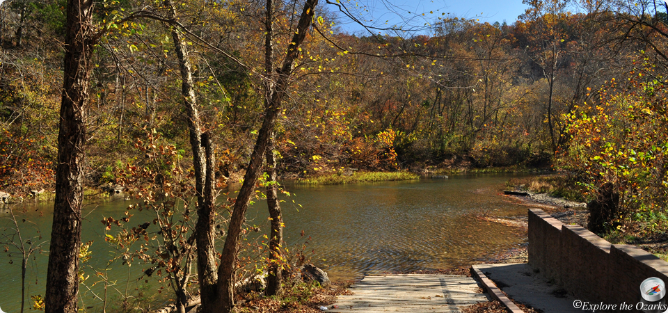
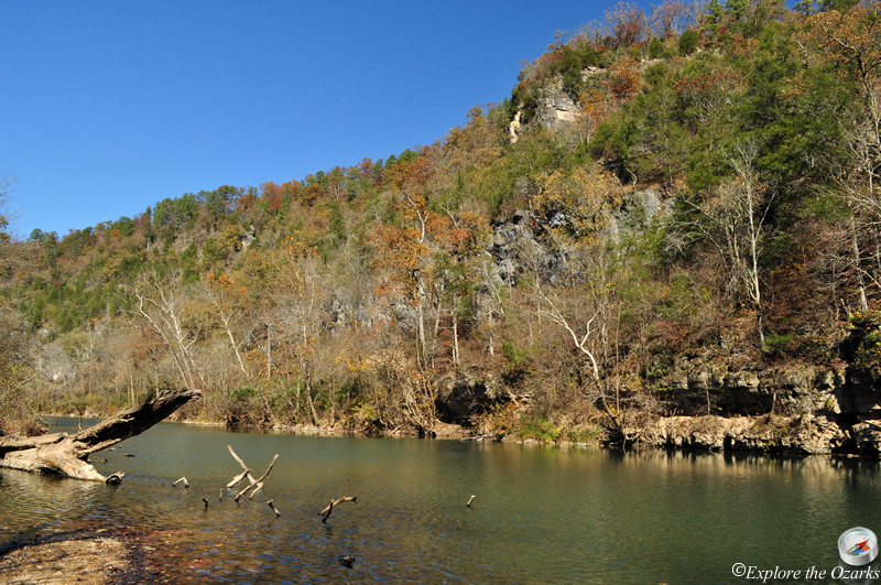
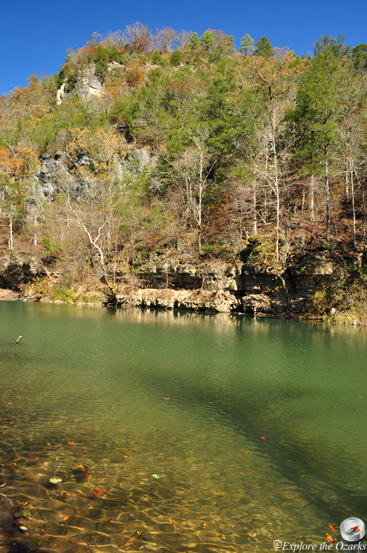
Cane Bluff River Access is located on the upper portion of the Eleven Point River, at approx. river mile 9.3. While this upper portion of the river is usually only floatable in the spring, it offers much scenic beauty. The area is named for a towering bluff on the opposite side of the river, and this stretch of the river is especially beautiful in the spring and fall.
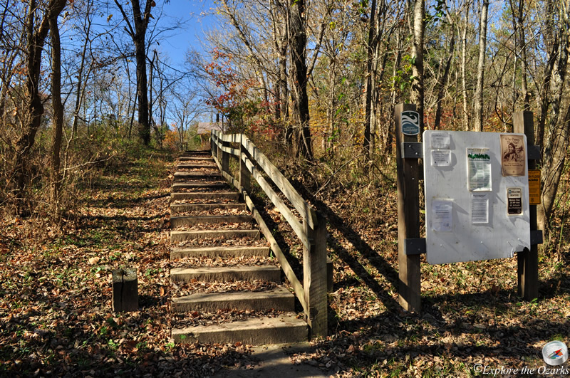
Cane Bluff Access offers a concrete launch ramp, picnic tables and a vault toilet. Dispersed primitive camping is allowed in this area, with no facilities available other than the toilet.
What's Nearby
Parks & Nature
Mark Twain National Forest - Eleven Point RD
Trails
Camping
Greer Crossing Rec Area
McCormack Lake Rec Area
Lodging
Local Eateries
Gear & Supplies
Other Attractions
Towns & Cities