


The Basics
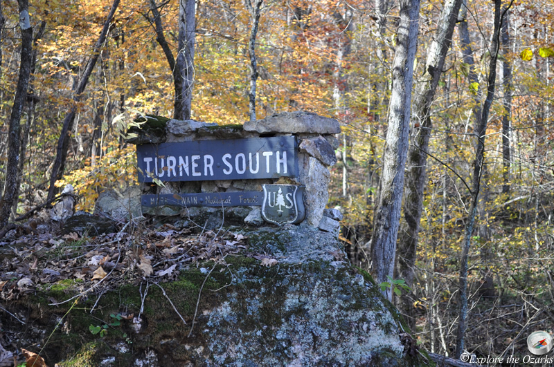
Turner Mill Access (South)
MO Hwy 19
Alton, MO
Phone: (573) 996-2153 (Eleven Point District Office)
Closest Towns: Alton, Winona
Directions: From Alton, travel North on MO Scenic Hwy 19 approx. 1.4 miles to State Hwy AA. Turn Right/East onto Hwy AA, and go approx. 4.7 miles to CR#127. Turn Left/North onto CR#127, and follow this road approx. 4.7 miles to Turner Mill South.
GPS:
About Turner Mill Access (South)
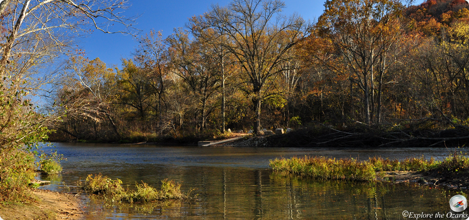
Turner Mill Access is located at approx. river mile 22.3, on the Eleven Point National Scenic River. Turner Mill Access is approx. 4.9 miles downstream from Greer Crossing Rec Area, and offers access points on both side of the river.
Turner Mill South is located across the river from the more popular Turner Mill North. But, while the North Access is a day-use only facility, Turner Mill South does offer primitive, dispersed camping, a concrete boat launch ramp, pit toilets, and more parking room.
What's Nearby
Parks & Nature
Mark Twain National Forest - Eleven Point RD
Trails
Camping
Greer Crossing Rec Area
McCormack Lake Rec Area
Lodging
Local Eateries
Gear & Supplies
Other Attractions
Towns & Cities