

The Basics
Crystal Vista Auto Tour Scenic Drive
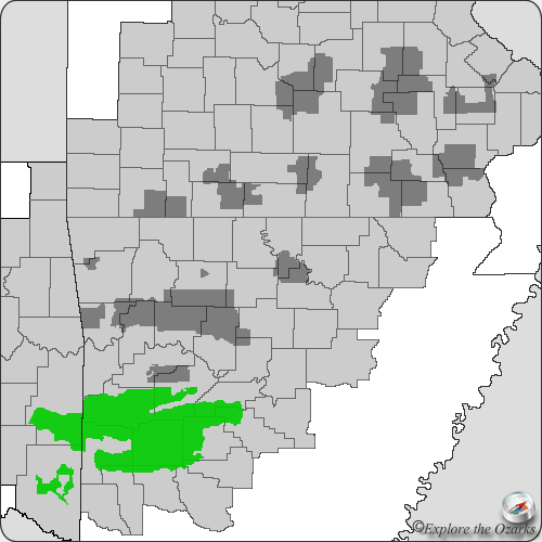
Mt. Ida, AR
Phone: (870) 867-2101 (Womble District Office)
Brochure: Crystal Vista Auto Tour (courtesy USFS)
Closest Towns: Gleenwood, Mt. Ida, Norman
Directions: The Crystal Vista Auto Tour is a loop tour that begins at the Womble Ranger Station on US Highway 270 just East of Mt. Ida, AR.
About Crystal Vista Scenic Drive
This 25 mile auto tour loops through the Ouachita National Forest, and visits many scenic and historic sites along the way. About half of the official loop is on paved roads, while the other half is on dirt forest roads maintained for automobile use. Points of interest include geologic formations, historic sites, scenic vistas, and different examples of forest management.
The tour begins at the Womble Ranger District Office on U.S. Highway 270 just East of Mt. Ida, Arkansas. From the ranger office, reset your trip meter, then head East on Hwy 270 for 4.4 miles, to Logan Gap Road. Turn Right, and follow Logan Gap Rd. After about a mile this road will pass through a "cut" in the road, exposing an interesting geologic feature. This particular one is known as the:
Ocus Stanley Fold
This unique geologic feature is visible right next to the road, and shows and area where the earth and rocks where folded up through tremendous pressure many many years ago. This rising and folding up of the earth's crust under this pressure is what created the Ouachita Mountains.
Continue South along Logan Gap Rd. after visiting the Ocus Stanley Fold. Turn Left at 7.3 onto FR#177, then go 1 mile to a small parking spot on your left for a quick side trip to visit the:
Lil' Blue Phantom Mine
This abandoned mine site offers visitors the chance to surface dig for remants of quartz crystals that are common in the area.
Head back to the intersection with Logan Gap Rd and FR#177, and continue Straight on FR#177. Twin Creek will now parallel the north side of the road. After about 0.9 miles from the last intersection, look out for the:
Shortleaf Pine Study Area
Notice how many of the trees in this area re marked with paint. These trees are part of the study area. Forest Service researchers measure these trees every 10 years to see how much they have grown. They can then use this information to estimate health and growth rates of similar forests.
Continuing along FR#177, about 1.5 miles past the study area, you will drive through the:
Crystal Mountain Scenic Area
The average age of the trees in this area are around 300 years old, much older than any of the other trees in the surrounding forest. It is this old age of the trees that makes this scenic area so unique.
Continue along FR#177 until you reach an intersection at 12.1 with FR#2237/Owley Rd. Take a Left at this intersection, still following FR#177, and go approx. 1.5 miles to the Collier Springs Picnic Area on your Right.
Collier Springs Picnic Area
This historic picnic shelter, built by the CCC, offers a nice side trip and stop for lunch along the auto tour. Read more...
From Collier Springs, head back Noth on FR#177, then turn Left onto FR#2237/Owley Rd. and continue West. At approx. 16.7, look for a pull off/parking area on your right for:
Crystal Vista
Crystal Vista sits high atop Gardner Mountain, and is the site of a former commercial crystal mine. After the mine was closed, a local miner and the Forest Service helped turn this site into a recreation area. This 4-acre site is now a rockhounding site, and offers visitors the chance to surface dig for crystals, and keep what they find! Just a little further up the mountain from the digging site is a panoramic view of the surrounding National Forest and Lake Ouachita in the distance. Crystals collected are for personal, non-commercial use ONLY and cannot be resold.
From Crystal Vista, continue West along FR#2237/Owley Rd. for approx. 4.1 miles until you reach AR Highway 27. Turn Right/North onto Hwy 27, and this will lead you back to Mt. Ida.
Total mileage is approx. 25.7 miles, including side trips to Lil' Blue Phantom Mine and Collier Springs Picnic Area.
What's Nearby
Parks & Nature
Trails
Camping
Lodging
Local Eateries
Gear & Supplies
Other Attractions
Towns & Cities