


The Basics
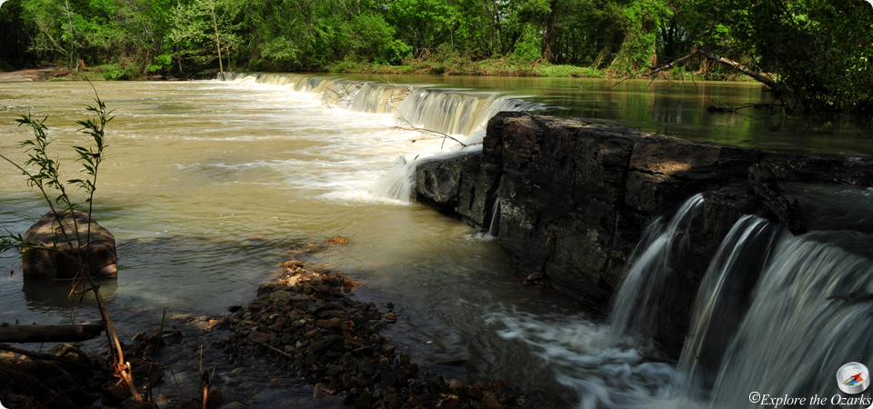
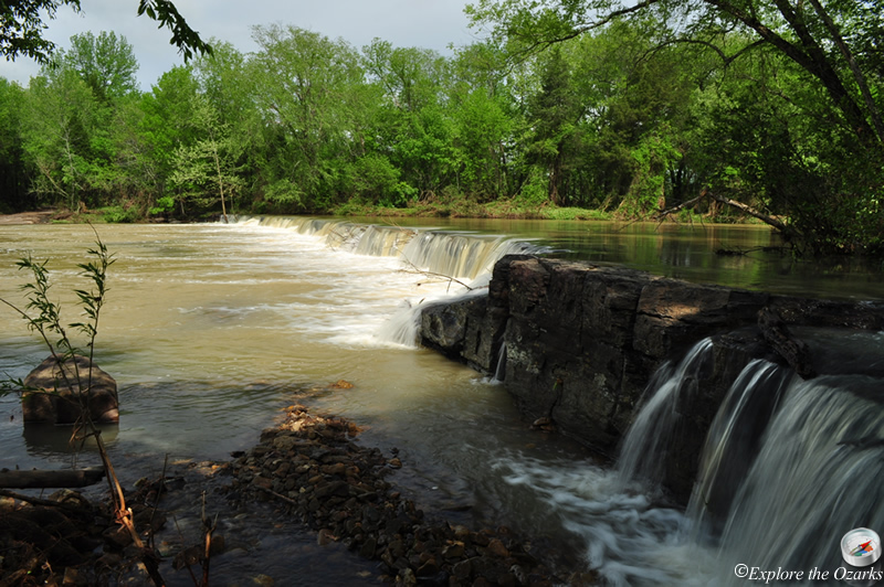
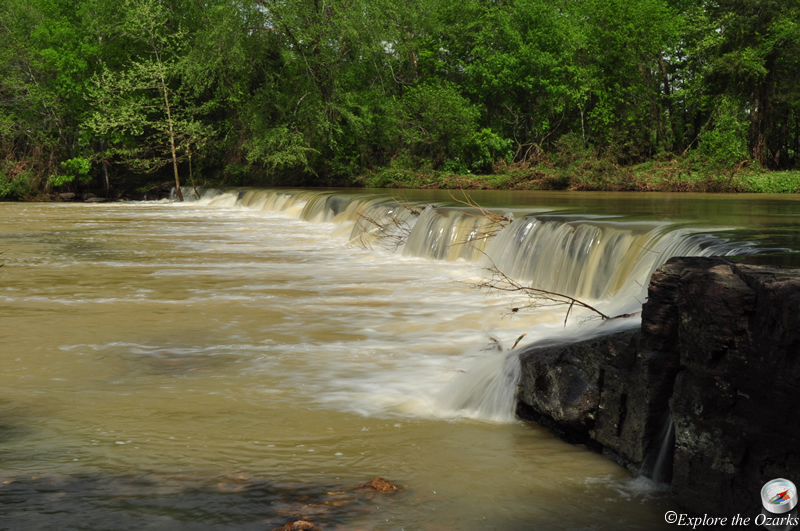
- Height: 8' x 187'
- GPS: N35 38.998, W94 23.855
- USGS Quad: Natural Dam
- Distance: View from car
- Difficulty: Easy
- Location: Ozark National Forest
- Ranger District: Boston Mountain
- Region: Arkansas Ozarks & Boston Mountains
Details & Directions
Located on Mountain Fork Creek, Natural Dam Falls is just that, a natural dam in the middle of the creek. While the falls are not all that tall, the natural dam does span the entire creek, almost 200 feet! Another great thing about this waterfall is that you can drive right up to it, as it is located next to a National Forest picnic site.
To get to the falls, take exit #5 on I-40 at Van Buren, and then head North on AR Hwy 59. As soon as you cross a bridge and come into the community of Natural Dam, Turn Left at the sign for the falls and picnic area, which are within sight of the turn.