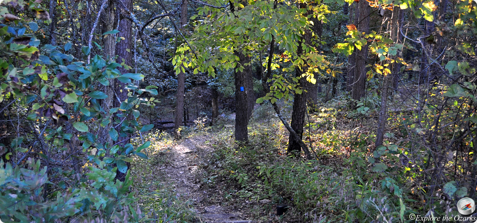

Bluff View Trail
- The Basics
- Type: Hiking
- Length: 1½ miles Loop
- Difficulty: Easy - Moderate
- Time: 1 - 1½ hours
- Requirements: None
- Description
- Starting in the picnic area, behind shelter #3, this 1.5 mile loop trail can also be joined with the 0.8 mile river trail, creating for an even longer hike. Hiking up the hill, you soon will reach a CCC-built overlook shelter, with great views of Meramec River. The actual loop starts here, giving views of the river at the start and finish. After leaving the bluff, the trail slowly climbs uphill, topping out at the dining loge. The trail crosses the parking lot, down a hollow behind the lodge and cabins. Don't follow the old road to the left, stay right. After another half mile, the trail levels out at a shelter near the river; here is where you can pick up the River Trail. From the shelter, the Bluff View Trail climbs and descends two bluffs, offering nice views of the river. It then leads back to the overlook shelter, completing the loop.
- Additional Info
- Camping: No
- Water: No water on trail
- Trail Head(s): Picnic Area; behind shelter #3
- Trail Markings:
- Pets Allowed:
- Recommended Season:
Deer Hollow Trail
- The Basics
- Type: Hiking
- Length: 1.8 miles One Way
- Difficulty: Easy - Moderate
- Time: 1 - 2 hours
- Requirements: None
- Description
- This nearly two mile trail serves as a connecting trail between the dining lodge and Fisher Cave. The first mile travels along and into Deer Hollow, where deer are often seen. After the hollow, it follows the river for several hundred yards, then climbs the last half mile out, up to the dining lodge. There is nothing too spectacular along this trail, it is just a great walk in the woods, especially after dinner.
- Additional Info
- Camping: No
- Water: No water on trail
- Trail Head(s): near Fisher Cave; Dining Lodge
- Trail Markings:
- Pets Allowed:
- Recommended Season:
Natural Wonders Trail
- The Basics
- Type: Hiking
- Length: 1.3 miles Loop
- Difficulty: Easy - Moderate
- Time: ½ hour - 1½ hours
- Requirements: None
- Description
- Starting from the visitor center parking lot, this loop trail travels in a counterclockwise direction, starting through a pine grove near Elm Spring Creek. Many small caves are located along the trail, as it passes in front of and above many of them. Also, there are many small springs and streams that the trail crosses or passes near.
- Additional Info
- Camping: No
- Water: No water on trail
- Trail Head(s): Visitor Center
- Trail Markings:
- Pets Allowed:
- Recommended Season:
River Trail
- The Basics
- Type: Hiking
- Length: 0.8 miles Loop
- Difficulty: Easy
- Time: ½ hour - 1 hour
- Requirements: None
- Description
- Beginning near the trail shelter along the Bluff View Trail, the River Trail can take hikers along a wooded bench near the Meramec River, running next to the river for part of its course. It then loops back through the forest along an old road, returning to the shelter. A small spur at the trail's northeast end leads to the campground, and can serve as an additional trailhead.
- Additional Info
- Camping: No
- Water: No water on trail
- Trail Head(s): Trail shelter at intersection with Bluff View Trail; Campground near showerhouse #3
- Trail Markings:
- Pets Allowed:
- Recommended Season:
Walking Fern Trail
- The Basics
- Type: Hiking
- Length: ½ mile
- Difficulty: Easy - Moderate
- Time: ½ hour
- Requirements: None
- Description
- Beginning near Fisher Cave, this trail offers alot to see in such a short distance. Level at first, there are tall bluffs to one side, and wet glade marshes on the other. A few hundred yards in, the trail climbs a staircase up the bluff, to Indian Cave. Only about 30 yards deep into the bluff, it was named so because prehistoric artifacts were found in this dry cave. Just past the cave, the trail steeply climbs a rigged hollow atop the bluff, then follows the bluff top, leading back to the cave. The mid-point give this trail its namesake, as a large boulder is covered with walking ferns. The trail then descends down to the amphitheater behind Fisher Cave.
- Additional Info
- Camping: No
- Water: No water on trail
- Trail Head(s): near Fisher Cave
- Trail Markings:
- Pets Allowed:
- Recommended Season:
Wilderness Trail
- The Basics
- Type: Hiking, Backpacking
- Length: 10 miles
- Difficulty: Moderate - Strenuous
- Time: 5 hours - Overnight
- Requirements: None
- Description
- Covering the most remote section of the park, this isolated trail is also the park's longest at 10 miles in length. Caves, springs, bluffs, glades, ledges, rock outcroppings, wildflowers and native animals can all be found along this trail. A small, shortcut along the path actually divides this trail into a 6-mile south loop, and a 4-mile north loop. The northern loop is the most remote section of the park, and passes through the Meramec Upland Forest Natural Area. Along this section of the trail, hikers will find Copper Hollow Spring, which flows from the mouth of Copper Hollow Cave on a moss-covered bluff, and is one of the most beautiful areas of the whole park. Black bears have occasionally been seen is this area, and the remoteness seems like a perfect place to catch a glimpse of one. Ten backpacking campsites are scattered along the trail, and most are near springs or streams, although they could be dry during summer months. There are many long, level stretches and gradual inclines, making the 10 mile loop an easy 5 hour hike, allowing for plenty of time to explore Copper Hollow Spring and other scenic spots along the way.
- Additional Info
- Camping: 10 backpacking camps scattered along the trail
- Water: No water on trail
- Trail Head(s): Across the road from the picnic area, near the cabins
- Trail Markings:
- Pets Allowed:
- Recommended Season: