


The Basics
Iron Springs Picnic Area
AR Scenic Highway 7
Jessieville, AR
Phone: (501) 984-5313 (Jessieville District Office)
Brochure: Hunt's Loop Trail (courtesy USFS)
Closest Towns: Hot Springs, Jessieville, Mountain Pine
Directions: Iron Springs is located on AR Hwy 7, four miles North of the Jessieville Ranger Office.
About Iron Springs
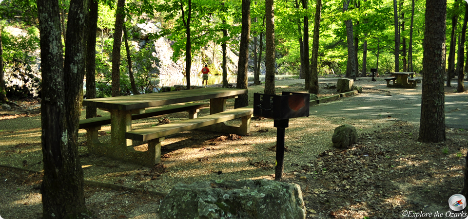
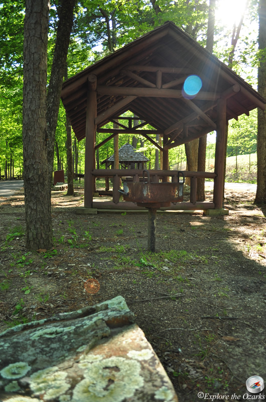
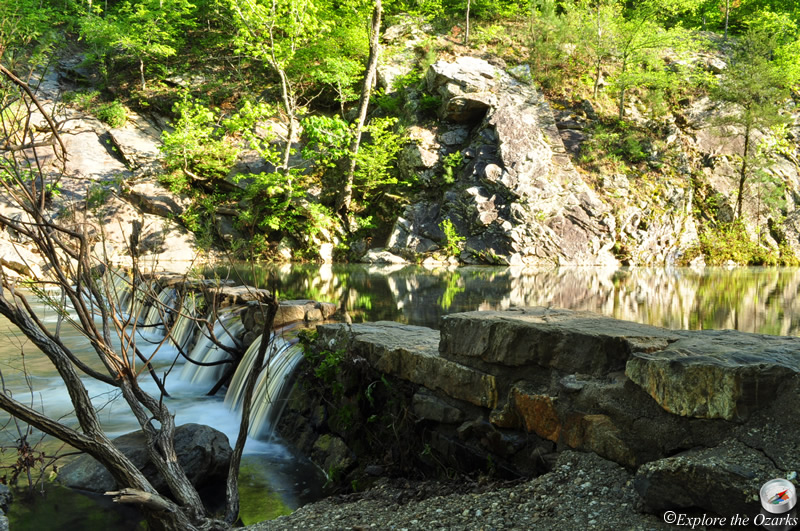
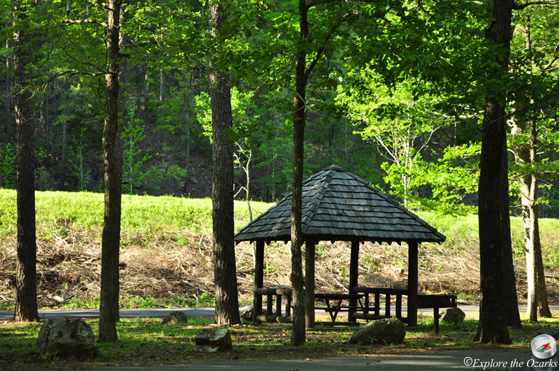
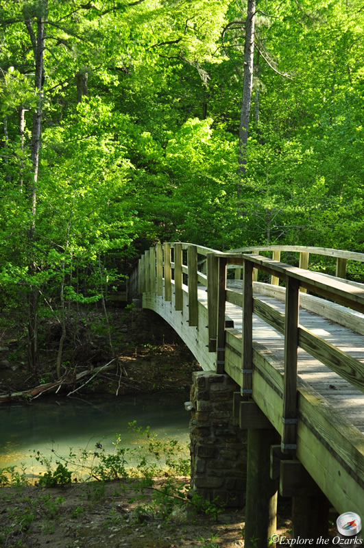
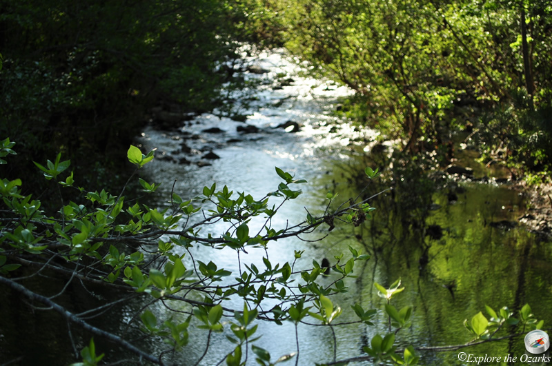
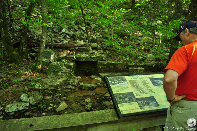
Located on Arkansas Scenic Highway 7, the Iron Springs Picnic Area offers a beautiful rest stop and picnic area along one of Arkansas' most scenic byways. The picnic area is located at a site where the CCC in the 1930s built a stone dam along a small mountain stream near a spring, creating a nice small swimming area for today's visitors. Three picnic shelters located beneath the shady canopy offer a cool and relaxing spot to rest and enjoy the outdoors.
Iron Springs also serves as the trailhead for the 4.3 mile Hunt's Loop Trail, which winds through the surrounding Ouachita National Forest and visits a scenic vista atop Short Mountain, which rises just behind the picnic area. The Hunt's Loop also joins the Ouachita National Recreation Trail for just over 1 mile, and passes by the Highway 7 Trailhead for this trail.
What's Nearby
Parks & Nature
Flatside Wilderness Area
Lake Ouachita State Park
Trails
Bear Creek Equestrian Trails
Lake Ouachita State Park Trails
Camping
Bear Creek Horse Camp
Lake Ouachita State Park Campground
Lake Sylvia Campground
South Fourche Campground
Lodging
Lake Ouachita State Park Cabins
Local Eateries
Gear & Supplies
Other Attractions
Deckard Mountain Walk-In Turkey Hunting Area
Forked Mountain
Forked Mountain Falls
Twist Cascade
Winona Auto Tour Scenic Drive
Towns & Cities