Photo Gallery

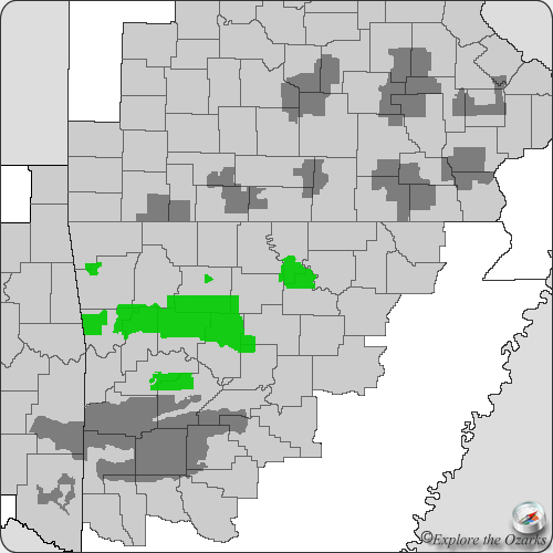
Locator Map
High Bank Canoe Access
The Basics
High Bank Canoe Access
AR Highway 215
Ozark, AR
Phone: (479) 754-2864 (Pleasant Hill District Office)
Closest Towns: Altus, Ozark, St Paul
Directions: High Bank Access is located about 14 miles North of Ozark on AR Hwy 23, then approx. 9.2 miles East on AR Hwy 215, on the banks of the Mulberry River.
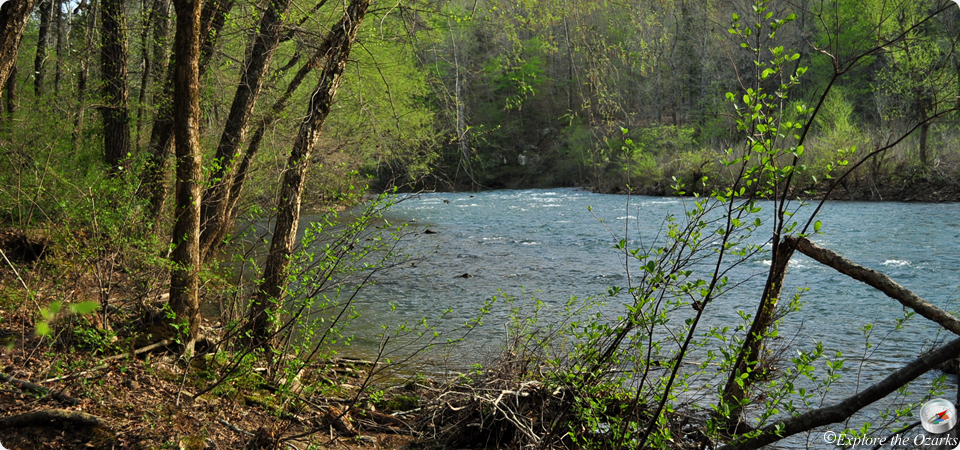
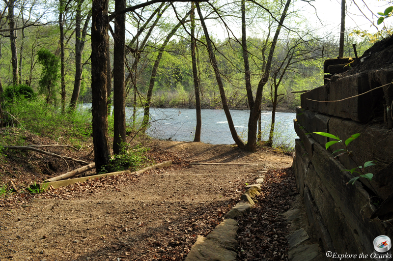
About High Bank
This canoe access is located along the Mulberry Wild & Scenic River, and provides canoers and kayakers access to the river during peak floating times, especially when Redding and Wolf Pen can get a little crowded. This access provides level, paved parking for a good number of vehicles, plus a walk-down ramp that leads right into the river.
If you are here when the water is up, especially right after a good rain, be sure to visit the High Bank Twins waterfall, located just a few hundred yards across the road and up a small valley. Few folks have ever seen these falls, since they are not visible from the road.
Also located nearby is the Redding/Spy Rock Loop Trail, which takes off from the Redding Campground, and visits Spy Rock near the Ozark Highlands Trail. It also passes by a couple of small waterfalls before looping back to the campground.
What's Nearby
Parks & Nature
Trails
Redding/Spy Rock Trail
Camping
Redding Campground
Wolf Pen Campground
Lodging
Local Eateries
Gear & Supplies
Other Attractions
High Bank Twins Waterfall
Towns & Cities