
Photo Gallery
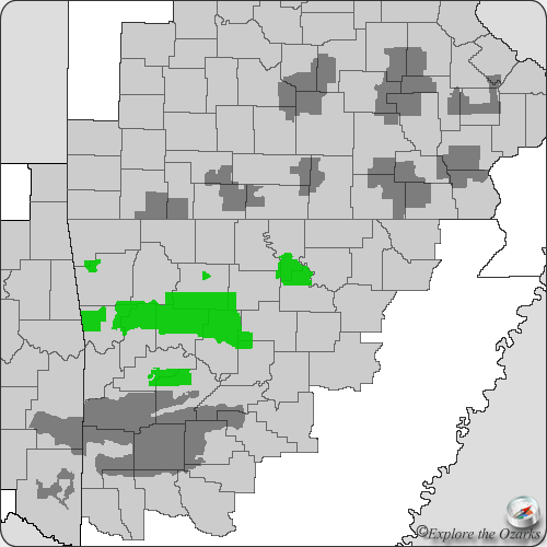
Locator Map
Redding/Spy Rock Trail
The Basics
- Open to: Hiking, Backpacking
- Trail Type: Loop
- Length: 8.5 miles
- Difficulty: Moderate - Strenuous
- Trail Markings: Blue Blazes
- Requirements: None
- Phone: (479) 754-2864 (Pleasant Hill District Office)
- Closest Towns: Brashears, Cass, Oark, Ozark
- Trailhead: N35 40.665, W93 46.390
Directions
The main trailhead is located right next to Redding Campground on the Mulberry River, on AR Hwy 215 East of Hwy 23 at Cass.
The Trail
What's Nearby
Parks & Nature
Trails
Camping
Redding Campground
Wolf Pen Campground
Lodging
Local Eateries
Gear & Supplies
Other Attractions
High Bank Canoe Access
High Bank Twins Waterfall
Towns & Cities