


The Basics
Collier Springs Picnic Area
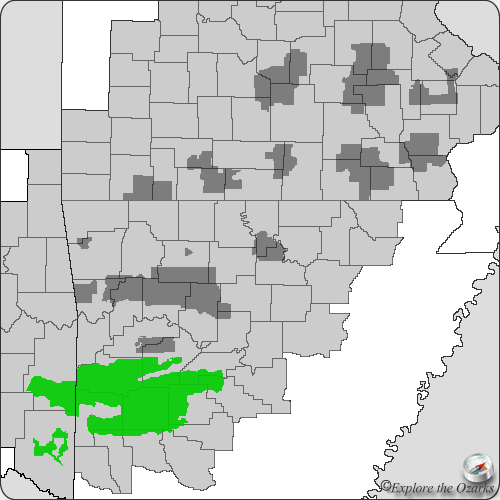
AR Highway 27
Norman, AR
Phone: (870) 356-4186 (Caddo District Office)
GPS: N34.8676194, W93.5948361
Closest Towns: Gleenwood, Mt. Ida, Norman
Directions: From Norman, head North on Hwy 27 about ¾ mile to FR#177/Crystal Park Rd. Turn Right and go approx. 6.1 miles (about 3 miles past Crystal Campground Rec Area) to the parking area on your left.
About Collier Springs
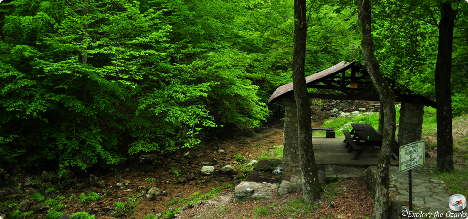
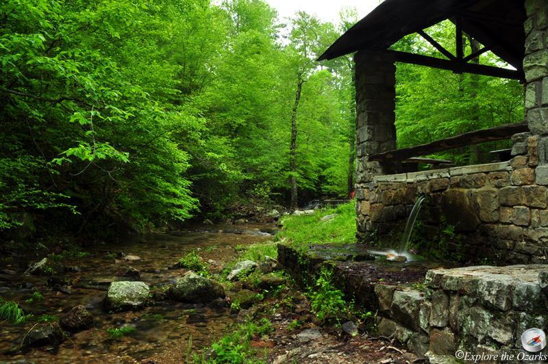
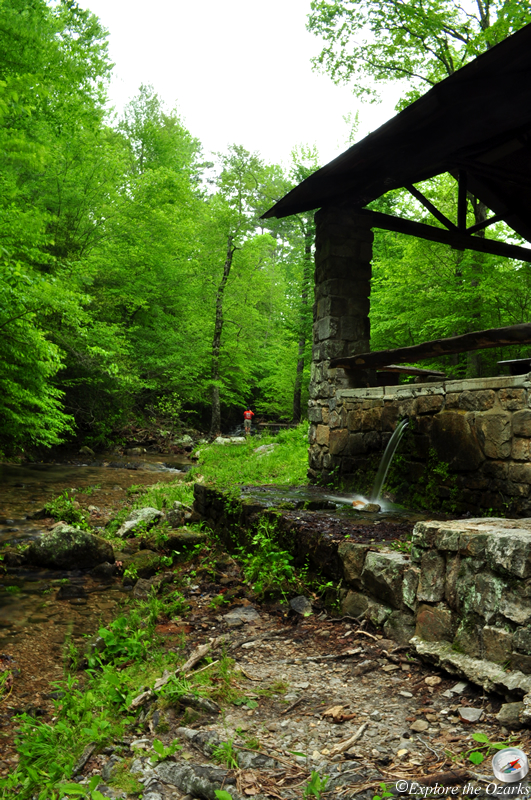
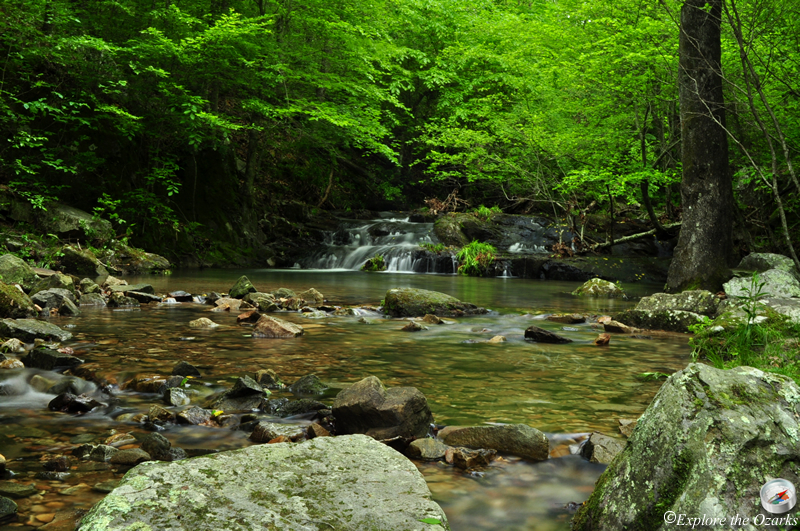
This small and secluded picnic area offers visitors a single picnic shelter just off of the forest road, and is situated next to Collier Creek. The historic stone picnic shelter was built in the late 1930s by the CCC (Civilian Conservation Corps), and was built around a small spring, Collier Springs.
This site is located just south of the Crystal Vista Auto Tour.
What's Nearby
Parks & Nature
Trails
Camping
Lodging
Local Eateries
Gear & Supplies
Other Attractions
Towns & Cities