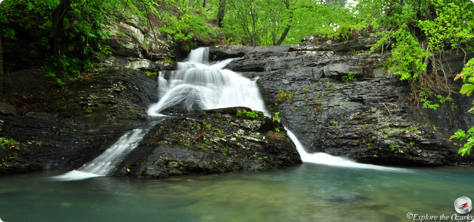

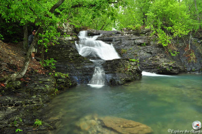
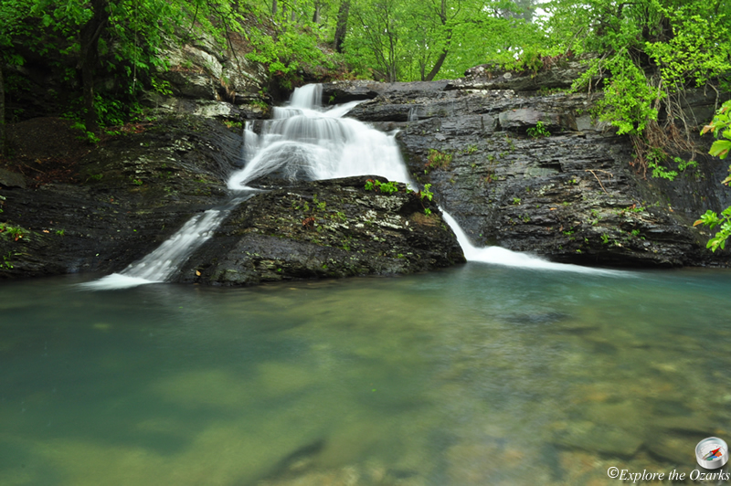
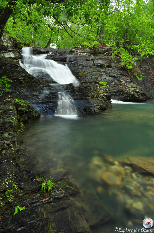


The Basics
- Height: 16'
- GPS: N34 25.620, W93 53.135
- USGS Quad: Big Fork
- Distance: View from road
- Difficulty: Easy
- Location: Ouachita National Forest
- Ranger District: Caddo/Womble
- Region: Arkansas River Valley & Ouachita Mountains
Details & Directions
This neat little waterfall is located right next to the road, and is a great falls to stop and look at on your way to or from Little Missouri Falls, which is just down the road. There are numerous ways to get to these two areas.
From Langley: (Langley is west of Glenwood, on AR Hwy 84 which is off of AR Hwy 70) Travel 6 miles down AR Hwy 369 to the Albert Pike Recreation Area. Going straight through the campground, the road will turn to gravel and become FR#73. Follow this another 3 miles, then Turn Left onto FR#43. Go 4.3 miles to the intersection with FR#25. From here, you can continue Straight 1.4 miles, and Park along the side of the road; Crooked Creek Falls will be just down and to your Right. Or, from this same intersection, you can get to Little Missouri Falls by Turning Left onto FR#25, travel 0.7 miles, then Turn Left at the sign into the picnic area.
From Norman: Take AR Hwy 8 west for 12.7 miles, then Turn Left onto FR#43. Go 3.3 miles and Park along the side of the road; Crooked Creek Falls will be just down to your Left. To get to Little Missouri Falls from here, continue another 1.4 miles and Turn Right onto FR#25, then Turn Left after 0.7 miles at the sign into the picnic area.