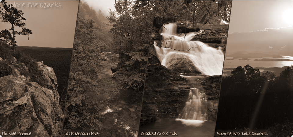


The Basics
Mena/Oden Ranger Districts
Mena Office
1603 Highway 71 North
Mena, AR 71953
Phone: (479) 394-2382
Oden Office
PO Box 322
Oden, AR 71966
Phone: (call Mena Office)
About the Mena/Oden Ranger Districts
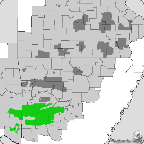
The Mena and Oden ranger districts, together covering 380,000 acres of beautiful forest, offer visitors much to see and do in this part of Arkansas. Their remoteness but close proximity to many small towns makes this portion of the Ouachita Mountains very accessible, but not overcrowded.
The Oden Ranger District covers a huge chuck of the middle of the Ouachita National Forest, and sits in portions of Montgomery, Scott and Yell counties. There aren't any sizeable towns in or nearby this district, and that helps to create one the most remote districts in the Ouachita NF. The Ouachita National Recreation Trail passes through the Oden District for about 36 miles from the Mena RD to the Jessieville RD, and is a remote but scenic stretch of the trail. The southern boundary of the Oden RD is the Ouachita River, and offers two float camps along this popular river.
The Mena Ranger district covers the southwestern-most portion of the Ouachita National Forest that is in Arkansas, and is actually split into two sections, north and south of the town of Mena.
The northern section holds a lot of popular attractions, including the Black Fork Mountain Wilderness, the Rich Mountain Recreation Area, and nearly 40 miles of the Ouachita National Recreation Trail. Of course, the main attraction is the Talimena Scenic Drive, cutting through the middle of this section of the district as it travels westward from Mena and on into Oklahoma.
The southern section is more remote and a little less visited, but holds such popular scenic gems as Shady Lake Rec Area and the Caney Creek Wilderness. Along its southern edge, this portion of the Mena District also borders the Cossatot River State Park Natural Area, and helps to protect much of its upper watershed.
*Currently, there are so many more features and areas within the Mena/Oden RD than I have had time to photograph, gather information for, and list here. As soon as new information become available, and I am able to gather pictures, I will post those new areas and features here.*
Features & Facilities
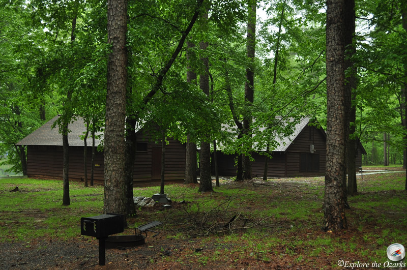
Campgrounds
Trails
- Black Fork Mountain Trail
- Brushy Creek Loop
- Buckeye Mountain Trail
- Caney Creek Trail
- Earthquake Ridge Trail
- Orchard Interpretive Trail
- Ouachita National Recreation Trail
- Serendipity Loop
- Tall Peak Trail
- Wolf Pen Gap Trail System
- Womble Trail
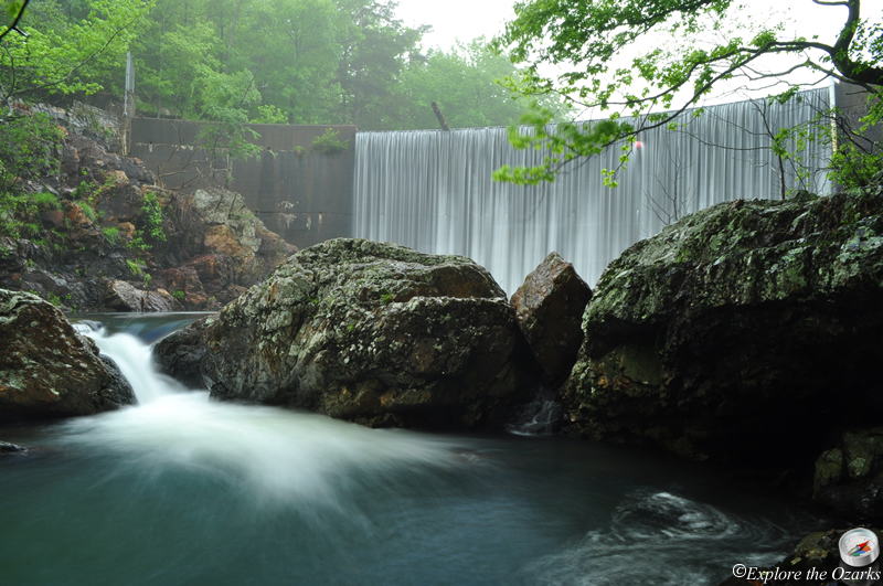
Waterfalls
Swimming Holes
Offroad/ATV Areas
Wilderness Areas
Scenic Areas
Other Areas