


The Basics
St. Joe State Park
2800 Pimville Road
Park Hills, MO 63601
Phone: 573-431-1069
Email: moparks@dnr.mo.gov
Directions: From St. Louis: Travel south on I-55 to the Festus/US Hwy 67 exit. Take US Hwy 67 south approx. 30 miles towards Park Hills, MO. Turn right/west onto Hwy 32, for approx. 3½ miles. Turn left/south onto Pimville Road (just before railroad tracks), and follow this road to the main park entrance on your left, approx 2.3 miles.
About St. Joe
Located in the "Old Lead Belt" region of Missouri, St. Joe State Park encompases what was once the world's richest known deposit of lead. Mining began here in the early 1700s, but was shallow and only performed 3 - 4 months of the year. With the introduction of the diamond-tipped drill by the St. Joe Lead Co. in 1869, the industry took off here at the park. For more than a century, this area produced nearly 80% of the nation's mined lead.
After other, richer deposits were discovered, St. Joe Minerals Co. ceased operations here in 1972, and in 1976 donated the land to the state. The milling complex and buildings still stand, and can be viewed next to the park at Missouri Mines State Historic Site.
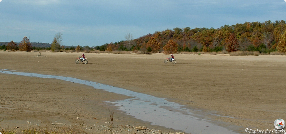
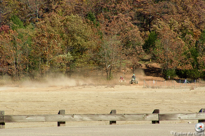
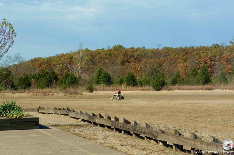
What is left of this land has become the park's 2,000-acre ORV riding area, and is the park's main attraction. 800 acres of the riding area are "sand flats," a sand-like substance of crushed limestone left over after mining. The rest of the riding area is the surrounding wooded hillsides, and can be steep in some places. Signs clearly mark the boundaires of the ORV riding area, and all off-road vehicles should stay within these boundaries. A large staging area and parking lot is available for parking and unloading vehicles and trailers.
The park features two campgrounds. Campground #1 is located near the ORV riding area, and features 40 electric sites and 35 basic sites. Laundry, restrooms, showers, a dump station, and a playground are located in the camping area. Trails lead from the campground to the ORV riding area for unlicensed ORVs that are not allowed on the park's roads. Campground #2 is located near the equestrian trails, and has 13 electric and 12 basic sites for equestrian campers and campers without ORVs.
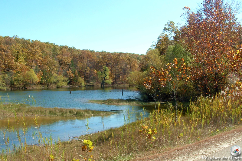
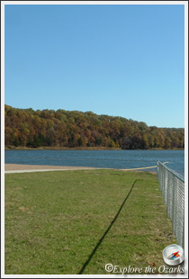
Four clear lakes can be found throughout the park, two of which are very easily accessible and have swimming beaches, complete with restrooms and changhouses. Anglers will find bass, catfish and crappie in the four stocked lakes. Man-powered boats and those with electric trolling motors are allowed on the water, but no gas-powered motors.
Other trails in the park include 15 miles of wooded trails open to hikers, mountain bikes, and equestrian riders. Over 13 miles of paved bicycle trails are open to bicyclists, hikers, skate boarders, and roller skaters. A paved section of trail also connects to the Missouri Mines State Historic Site.
Features & Facilities
Park Office | Pavilions | Picnic Area/Tables | Playground | Swimming Beaches | Historic Mine | Campground | Restrooms | Showers | Laundry | Dump Station | ORV Riding Area
Activities Available
Camping | Hiking Trails | Biking Trails | Equestrian Trails | ATV Trails | Swimming | Fishing
What's Nearby
Parks & Nature
Bootleg Access
Elephant Rocks State Park
Hawn State Park
Ketcherside Mountain Conservation Area
Mark Twain National Forest
Millstream Gardens Conservation Area
Pickle Springs Natural Area
St. Francois State Park
Taum Sauk Mountain State Park
Washington State Park
Trails
Elephant Rocks State Park
Hawn State Park
Mark Twain National Forest
St. Francois State Park
Taum Sauk Mountain State Park
Washington State Park
Camping
Hawn State Park
Mark Twain National Forest
St. Francois State Park
Taum Sauk Mountain State Park
Washington State Park
Lodging
Local Eateries
Gear & Supplies
Other Attractions
Towns & Cities