


The Basics
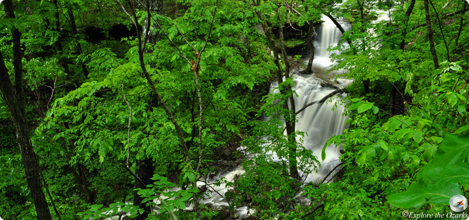
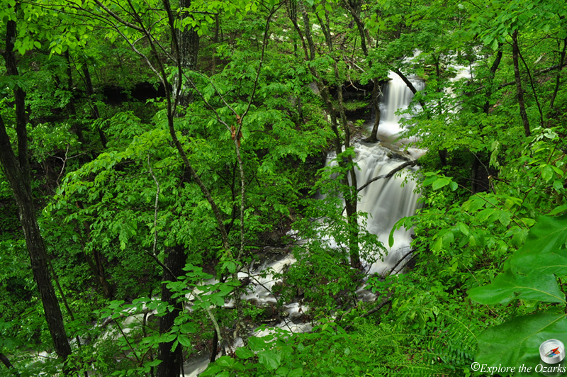
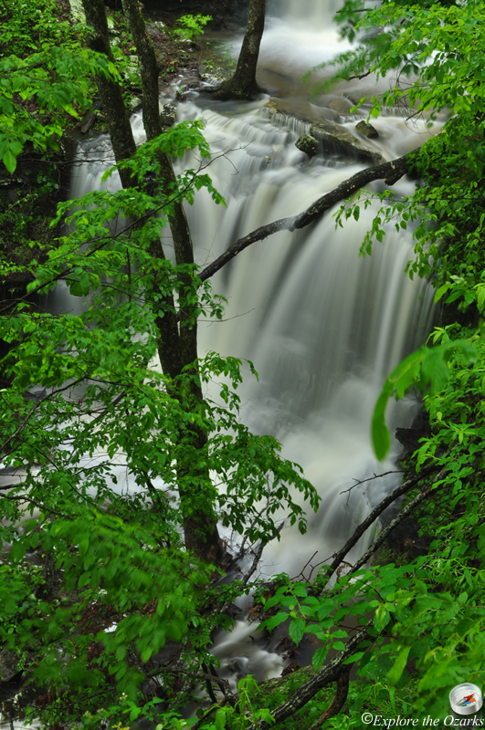
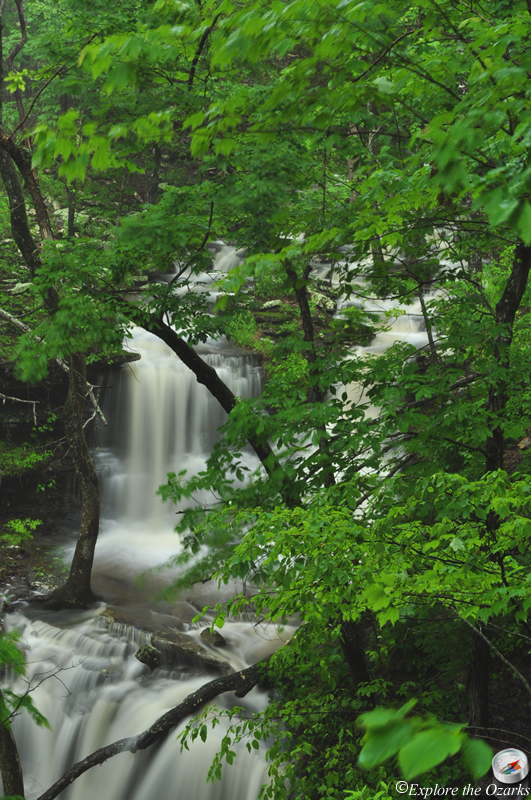
- Height: 28'
- GPS: N35 45.406, W93 31.877
- USGS Quad: Boston
- Distance: ¼ mile One-Way
- Difficulty: Easy Hike
- Location: Ozark National Forest
- Ranger District: Pleasant Hill
- Region: Arkansas Ozarks & Boston Mountains
Details & Directions
This neat little waterfall is located right next to the Ozark Highlands Trail, and the hike to it is a short, ¼ mile, level hike, so most folks should be able to visit it. Parking and trail access is at the Arbaugh Rd Trailhead for the OHT.
To get here, take AR Hwy 16 West from Fallsville for 2.6 miles, then Turn Left onto FR#1404/Arbaugh Road (gravel, may not be marked). Or, you can take AR Hwy 16 East from Red Star for 7.9 miles, then Turn Right onto FR#1404/Arbaugh Rd. Take this road for 3.2 miles, bearing right at the fork, and the trailhead and parking will be on your Left; it is marked well.
Head down the trail to the West, Across the road. There will be a small stream on your right, this is what feeds the waterfall, so there should be plenty of water. Soon, the stream gets a little steeper, and there are more, larger boulders. The trail will dip just a little here, too. A few feet later, and the waterfall will be on your right. If you decide to get off the trail to get a closer view of the falls, be very careful, because the hillside is very steep!