


The Basics
Turner Mill Access (North)
MO Hwy 19
Alton, MO
Phone: (573) 996-2153 (Eleven Point District Office)
Closest Towns: Alton, Winona
Directions: Turner Mill North is located off of MO Scenic Hwy 19, approx. 11 miles north of Alton, or approx. 15 miles south of Winona. From Alton, travel North on Hwy 19 approx. 11 miles to FR#3152 on your right. Or, from Winona, travel South on Hwy 19 approx. 14.9 miles to FR#3152 on your left.
Go approx. 6 miles on FR#3152, then turn right onto FR#3190 for approx. 2.6 miles to the access area.
GPS:
About Turner Mill Access (North)
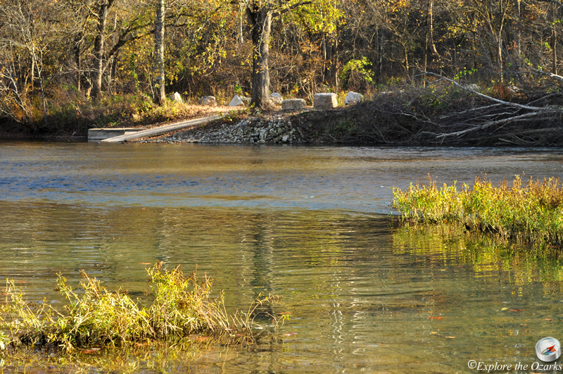
Turner Mill Access is located at approx. river mile 21.5, on the Eleven Point National Scenic River. Turner Mill Access is approx. 4.9 miles downstream from Greer Crossing Rec Area, and offers access points on both side of the river.
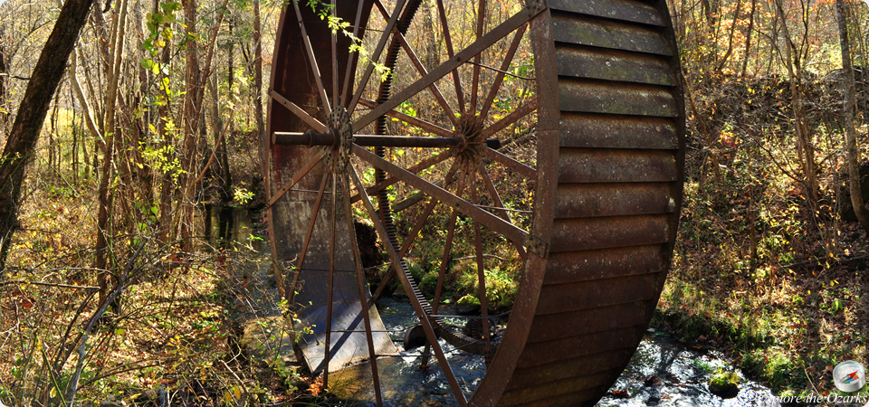
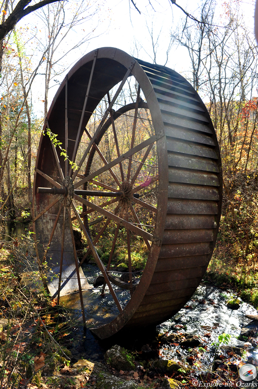
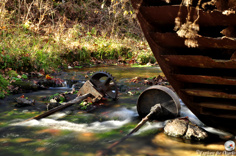
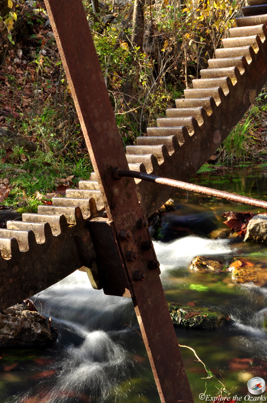
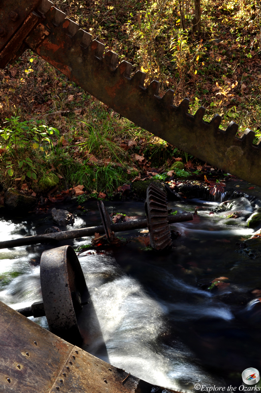
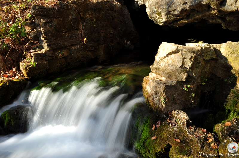
Turner Mill North is a day-use only access point; no overnight camping is allowed. While picnicking and river access are popular here, the main attraction is the historic Turner Mill waterwheel and spring. Located near the edge of the Irish Wilderness, this area once had an operating mill next to the spring and high bluff. But, all that remains is the 25 ft overshoot metal wheel from the mill. The wheel is located just downstream from the mill site, in the spring branch. A short path leads to the wheel and up to the spring.
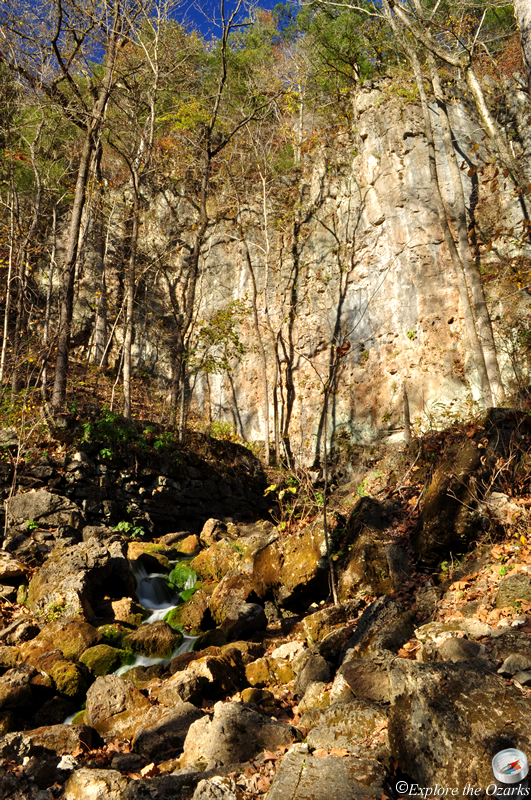
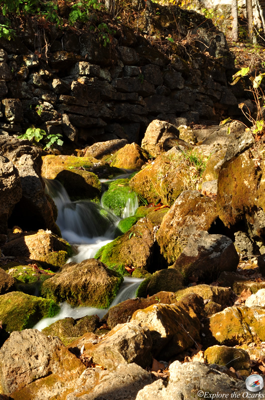
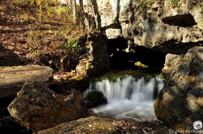
Turner Mill Spring exits from a small cave opening at the base of a tall bluff. Historic remains of the water chute that directed the spring's water to the mill can be seen near the bluff and spring.
What's Nearby
Parks & Nature
Mark Twain National Forest - Eleven Point RD
Trails
Camping
Greer Crossing Rec Area
McCormack Lake Rec Area
Lodging
Local Eateries
Gear & Supplies
Other Attractions
Towns & Cities